Our SERVICES
Aerial services engineered for precision and reliability
Screaming Eagle Eyes Consulting provides professional drone services, including aerial mapping, 3D modelling, inspections, photography, and geospatial data collection. Combining decades of surveying and construction experience with modern drone technology, we deliver practical aerial solutions tailored to each project’s requirements.
Services
Expertise across the industrial aerial workflow
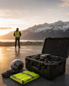
Aerial Services
Screaming Eagle Eyes Consulting provides professional aerial photography, video, and inspection imagery for real estate, properties, farms, ranches, and difficult-to-access areas.
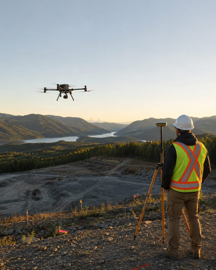
3D Modelling
Screaming Eagle Eyes Consulting uses drone-based photogrammetry to create accurate aerial maps and 3D models of construction sites, project areas, stockpiles, quarries, and other large properties.
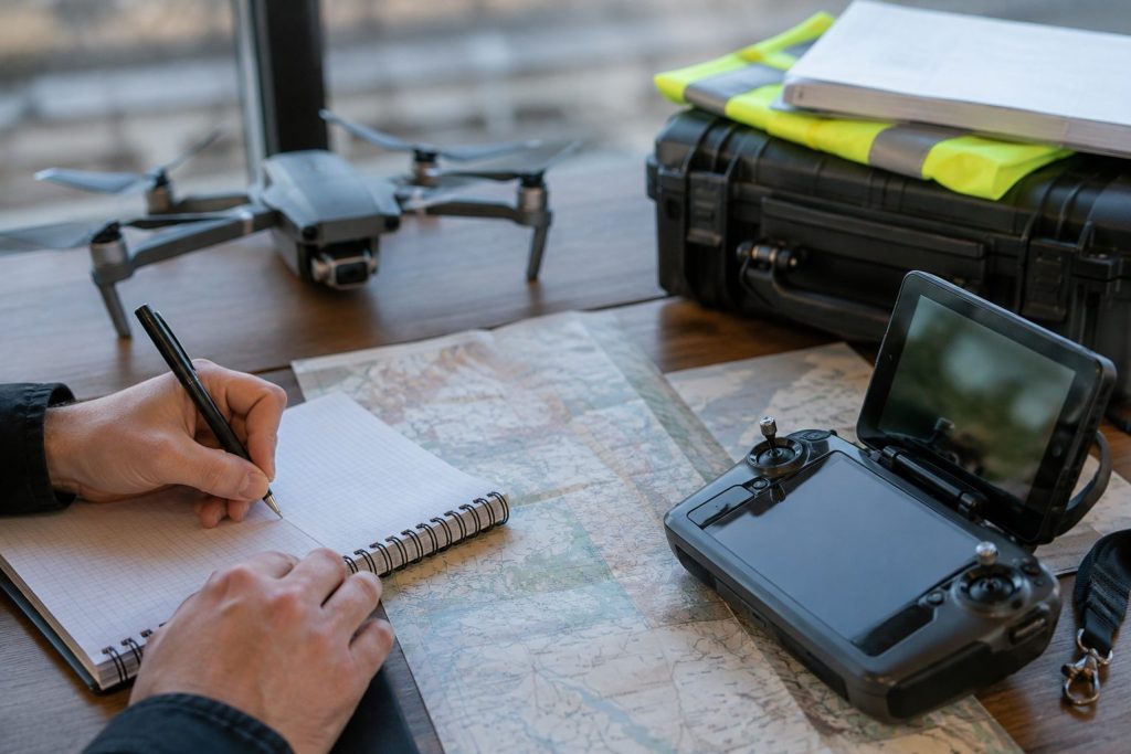
How we work
A simple, transparent four-step process from first call to final deliverables.
