After 45 years in surveying, the first question I ask on a drone job is the same one I’d ask on any survey job. What does the client need to see, measure, or document when the work is done?
A construction progress flight might call for repeatable views so the client can compare one visit with the next. A property overview might need a wider view to show access and surrounding terrain. Knowing the purpose up front helps me decide what to capture and where I need to fly to get it.
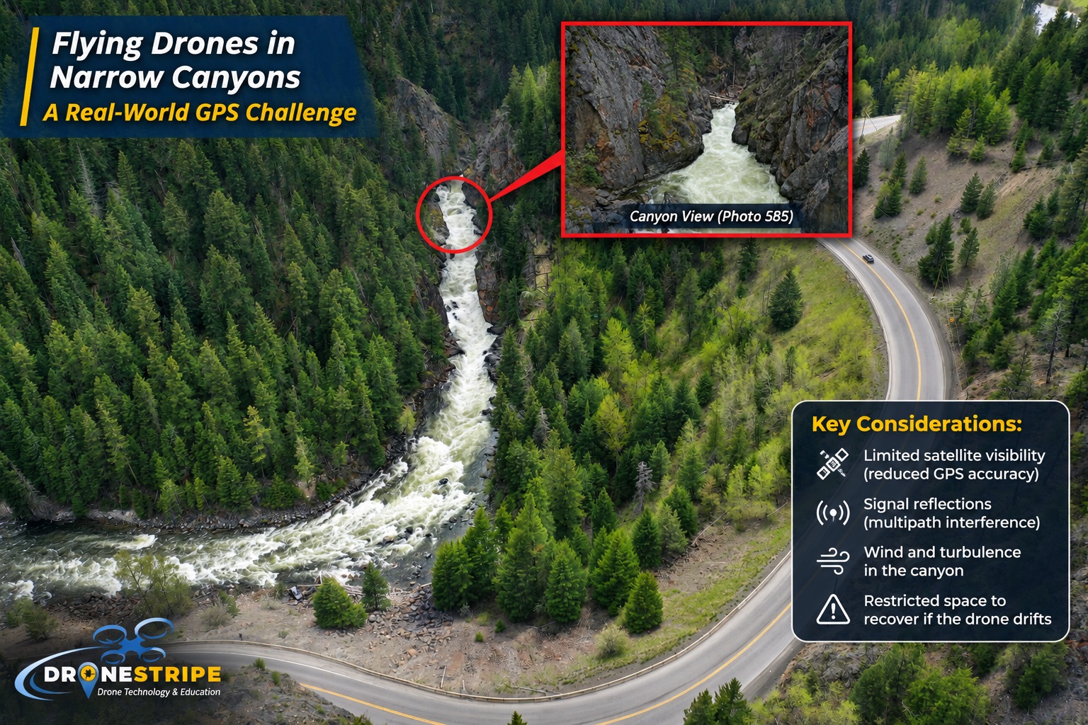
Then I look at the site itself. A canyon along Highway 3 is a good example. In a wide photo, you can see how the road fits into the surrounding terrain. From inside the canyon, the walls fill much more of the view. That change in perspective matters to the pilot, too. Steep walls can limit how much sky the drone can see, which can affect satellite positioning. It’s something I want to account for before choosing a launch spot or a flight path.
I also think through where I could land if conditions change and which parts of the site I can cover from a different position. Those decisions are easier to make on the ground, with time to look around.
At Screaming Eagle Eyes Consulting, I bring that same approach to aerial photography, mapping, and progress documentation. I start with what the client needs and plan the flight around the site.
